A Walk Around Heimaey
A stroll around the island sounds nice, we thought. A leisurely pace, pleasant weather, verdant hills, volcanoes, beaches, cliffs and a bit of puffin-spotting… a perfect way to spend the afternoon! Hours later, collapsed onto a couch from which we were physically unable to arise, we reflected on this early optimism. The ridiculous buoyancy in our step as we set out on an “easy stroll” around Heimaey. Oh, we remembered how cheerful we had been. We remembered with blackest hate.
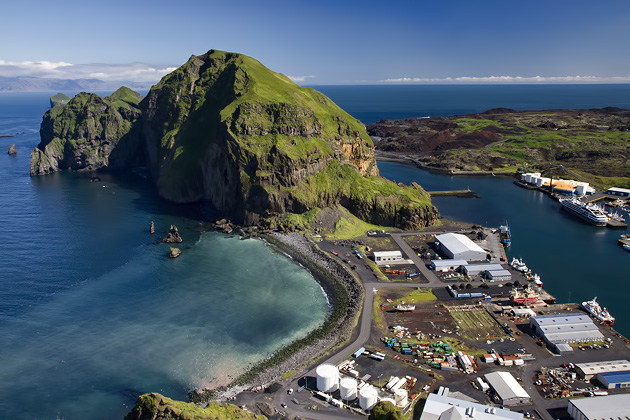
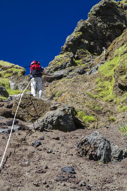
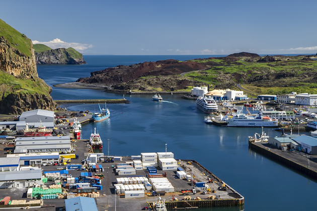
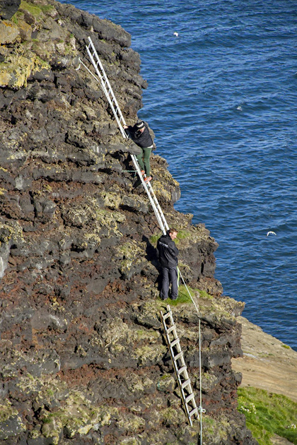
The weather was so nice, and we had been so optimistic about the ease of our planned hike, that we decided to start by climbing up to the rim of Herjólfsdalur, the crater which forms the northwestern corner of the island. We even eschewed the normal trail, and started at the back of the crater, near the port. The trail here looked rough, requiring the use of a system of ropes, but our spirits were high and we set off upwards without a second thought.
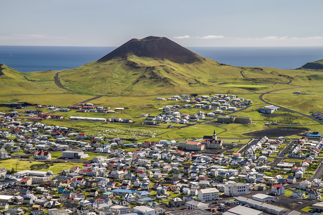
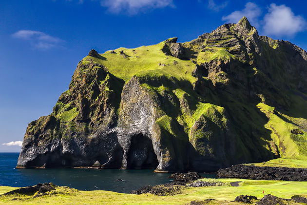
After about forty minutes of pulling ourselves up the hill, our arms and legs were burning and we had worn blisters into our palms. But we were now high enough to survey the scene… and realized that we had climbed the wrong mountain. Entirely the wrong mountain. We weren’t on the Herjólfsdalur crater, but Klif, its neighbor to the east. I suppose we had been worrying about tumbling down the hill to our deaths and not concerned with silly trivialities like “thinking”. But this was an extremely bone-headed mistake.
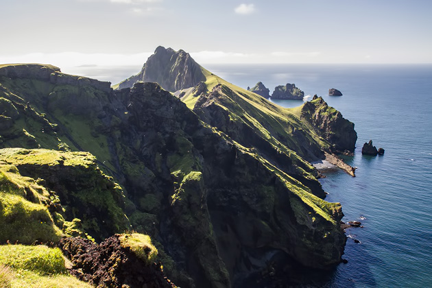
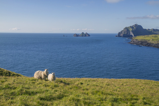
Still, the view from Klif was nice.
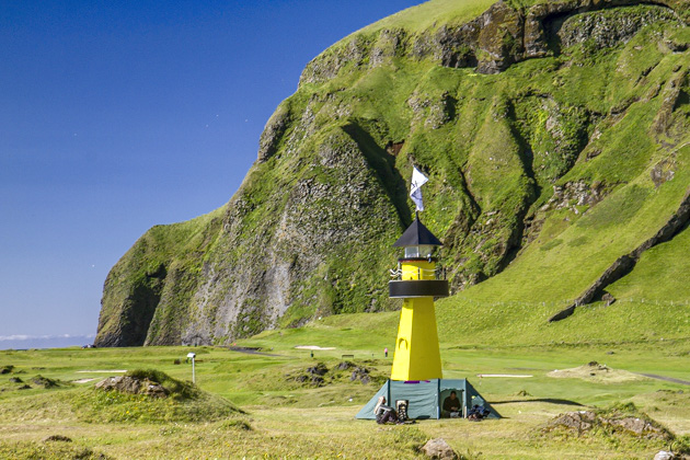
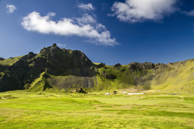
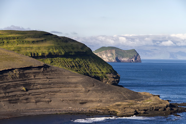
This misadventure cost a lot of energy and time, but we continued on our counter-clockwise walk around the island. First, we passed by the crater we had planned to ascend, Herjólfsdalur. This bowl-shaped formation cradles the town’s campground and golf course. On the first weekend in August, it hosts the popular Þjódhátið festival, which attracts thousands of hard-drinking, music-loving youth to Heimaey.
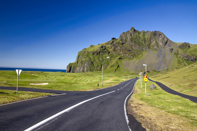
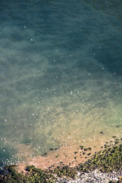
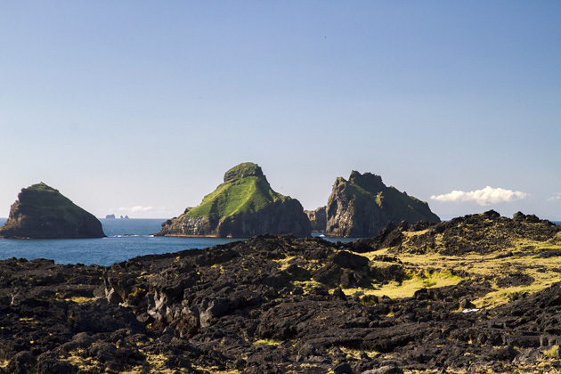
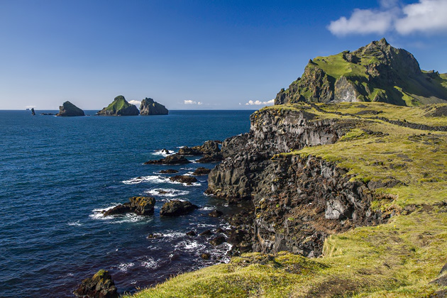
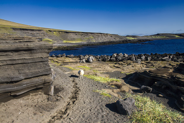
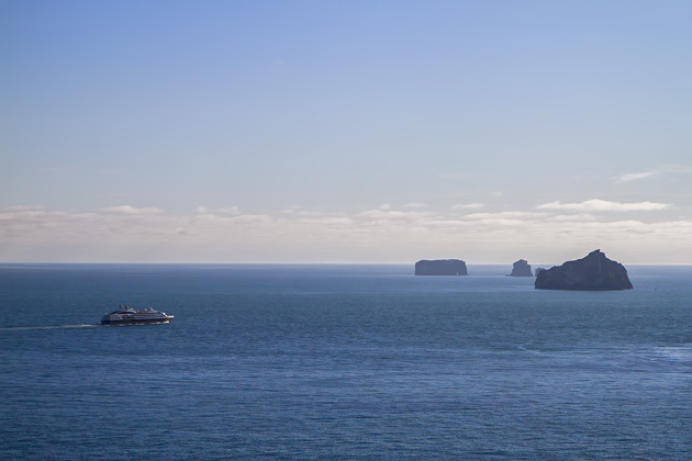
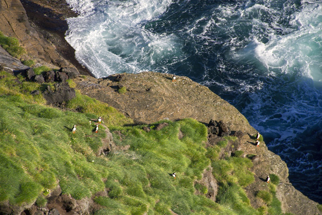
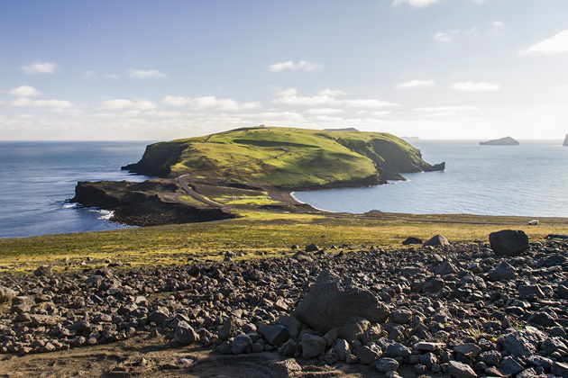
Continuing south, we approached the hill of Stórhofdi which sits like a ball at Heimaey’s foot. Along the way, we saw thousands of puffins in the water and air. We crossed black sand beaches and admired some of the other islands that make up the Westman archipelago. All quite beautiful, and nearly enough to distract us from the hike’s length. It took hours to reach Stórhofdi. I couldn’t believe it, and still don’t know how we underestimated the island’s size so severely. It looks small on a map? The clear northern air makes things appear closer than they are? We are idiots? Probably all three.
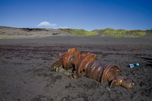
After circling Stórhofdi, we started back north along the eastern coast of the island. By now, our happy spirits had vanished, and we trudged in brooding silence along the Brimruð beach to Ræningjatangi, also known as Pirates Cove. It was here that the Algerian pirates anchored their ship in 1627 before ransacking Heimaey.
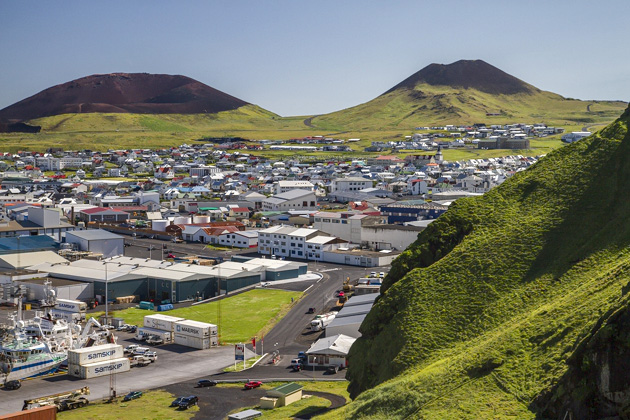
We arrived back in town at around 8pm, utterly destroyed, and marched straight to the nearest bar. In spite of our aching bones, it had been an amazing day out… but if we had to do it again, we’d rent bikes.
Locations on our Map: Herjólfsdalur | Stórhofdi | Ræningjatangi




Pingback: A Boat Trip Around Heimaey | For 91 Days in Iceland – Travel Blog
We were in the Westmanns last Saturday and Sunday. Didn’t see many puffins there but only in Vik. Got a whole lot of pix.
We saw some Puffins at Westmanns at a distance and on the water on the boat trip around the main Island and also saw the ladder that you have photographed
PS. Went to the aquarium and got to hold and pet the puffin
Below is Vik
Puffin at Heimaey
The petting pictures are all stills